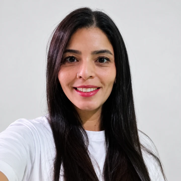
Jenny Aleida García González holds an EdD from Universidad Cuauhtémoc Aguascalientes, an MSc in Earth Sciences and a geology degree from Universidad de Caldas, and a postgraduate specialization in Geological Engineering Applied to Mining and Environmental Geotechnics. Her career combines fieldwork, consulting, research and teaching for mining and energy development, environmental management and territorial planning.
Read the full professional biography
Since February 2021 she has been full-time faculty in Geological Engineering at Areandina, Valledupar. She teaches mineralogy, petrography, mineral deposits, deposit evaluation, geochemistry and field geology, alongside student research supervision and curriculum development. From 2016 to 2019 she taught full-time in Mining Engineering at Areandina’s Bogotá campus.
At Colombia’s National Mining Agency she provided consulting support for evaluation and monitoring of mining operators’ technical documents within the technical assistance program, connecting geoscientific interpretation with technical requirements for sector projects and operators.
Her basin experience includes petrographic interpretation for the Colombian Geological Survey’s Lower Magdalena Valley and Sinú–San Jacinto mapping integration. She also worked on core, drilling-cuttings and well-log studies associated with National Hydrocarbons Agency projects in Tumaco and Buenaventura, as well as mapping and stratigraphy through Universidad de Caldas and Paleoexplorer.
In energy and environmental consulting she contributed to the Termopaipa–Gensa Environmental Management Plan update and petrographic analysis for a small hydropower project in Dabeiba. Through Consorcio ECO 015’s UPME project she supported a toolkit for incorporating mining and energy into territorial planning. Her early experience includes geological and geotechnical work in road infrastructure.
She has participated in research on Gorgona and Gorgonilla, sediment provenance and basin evolution, and initiatives concerning source and reservoir rock characterization in Cesar–Ranchería, Macuira mapping and public engagement with geological heritage. Her background brings together field evidence, subsurface analysis and territorial understanding.